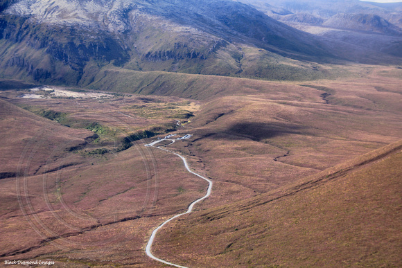
All Images Copyright - Black Diamond Images - All Rights Reservedbr/br/span class="small"Here is a short commentary by Beth Pelletier who completed the Tongirio Crossing./spanbr/br/"Tongariro Crossing which is New Zealands most popular day walk. It was 19.4 Km or 12 miles long, taking me 7 hours to complete. It started out walking through this vast open plain between mountains, then across a long, flat valley floor where we passed a huge snow-capped mountain on the right which was Mt. Doom in Lord of the Rings. Next I came face-to-face with the "Devil's Staircase". I had no idea how hard it would end up being, but let's just say it was named accordingly. That was the toughest part but I was walking with friends of mine, Suzy and Cat and we took our time and stopped for breaks. Another girl, Kari, joined our group and we proceeded up this steep and fairly dangerous hike/ climb up to the summit. At the top you could see a huge red rock formation to the left and three lakes on the other side of the peak. The lakes were such a bright and brilliant blue and green that it almost looked unreal. On the way down from the summit the ground was very loose and it was hard to get a good footing. Cat and I adopted a technique of almost skiing down the loose rock which was quite fun, while Kari did the crab crawl because she was more apprehensive. The whole area smelled strongly of sulfur and the rocks let off steam. The mountain ranges were creations of intense volcanic area about 80,000 years ago and are now a World Heritage Sight. We then proceeded past the lakes and zig-zagged down some mountains. Easy to quickly describe but it took a long time to complete. The last portion of the trail was through a cool and shady rainforest which was a big change from the rest of the dry and open landscape. It was a very challenging and demanding walk but so rewarding. It's the longest hike I've ever done and I'm glad it's under my belt now because I have several more walking tramps planned during my trip." Read more: a href="
http://www.travelpod.com/travel-blog-entries/bethpelletier/1/1239661260/tpod.html#ixzz1IQjrFf31"; target="_blank"
http://www.travelpod.com/travel-blog-entries/bethpelletier/1/1239661260/tpod.html#ixzz1IQjrFf31/a